Whether you’re in the construction, government, or transportation businesses, ensuring you have clear and concise geo-mapping is essential. Because DAT/EM’s Summit Evolution photogrammetric workstation software includes features that make it
Photogrammetry, the art and science of extracting meaningful 3D data from images, is not new, having been around in some form since before World War II, as photography played
Summit Evolution 8 is a market-leading photogrammetric workstation that allows you to extract and edit highly detailed data. It allows users to easily manage multiple models that can be
Summit Evolution 8 is the most user-friendly photogrammetric workstation on the market. It’s designed to interact with CAD and GIS, making it as easy as possible to extract usable
Last year, we celebrated our 30th anniversary. We’ve found our niche by developing photogrammetric software to explore stereo imagery…
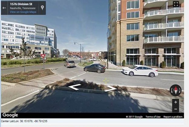
Good news! Summit’s Google Maps Tool is fixed!
We are almost ready to release version 7.5 of the DAT/EM Software Suite…
Join DAT/EM Systems International with co-exhibitors DAT/EM Systems Europe and RhinoTerrain at INTERGEO…
DAT/EM Systems International released version 7.4 of its software suite, including significant updates to LandScape…
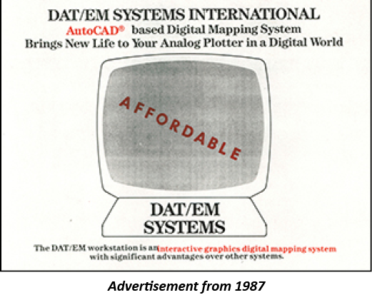
In 1987, a group of photogrammetric professionals envisioned a product that would bridge the gap between a stereoplotter and the budding world of digital mapping…
« Previous Page — Next Page »