Key Features in Modern Photogrammetric Software
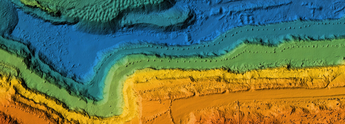
Photogrammetry, the art and science of extracting meaningful 3D data from images, is not new, having been around in some form since before World War II, as photography played
Photogrammetry, the art and science of extracting meaningful 3D data from images, is not new, having been around in some form since before World War II, as photography played

Last year, we celebrated our 30th anniversary. We’ve found our niche by developing photogrammetric software to explore stereo imagery…
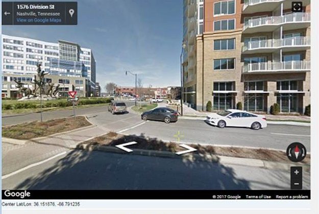
Good news! Summit’s Google Maps Tool is fixed!
We are almost ready to release version 7.5 of the DAT/EM Software Suite…

Join DAT/EM Systems International with co-exhibitors DAT/EM Systems Europe and RhinoTerrain at INTERGEO…
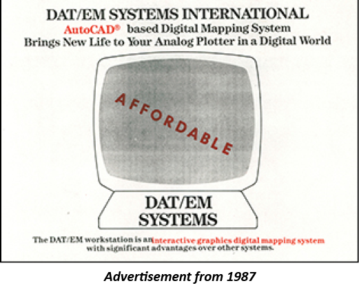
In 1987, a group of photogrammetric professionals envisioned a product that would bridge the gap between a stereoplotter and the budding world of digital mapping…

The time has come! The DAT/EM Photogrammetric Suite version 7.4 is now available…
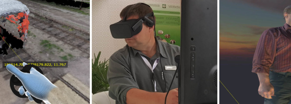
View our new virtual reality software in booth 211 at the SPAR 3D Expo & Conference in Houston, Texas…

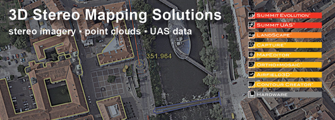
Learn about our 3D Stereo Mapping Solutions in booth 202 at the ASPRS Imaging and Geospatial Technology Forum…
Celebrating our 30th anniversary in 2017, we continue to explore new technologies and expand our portfolio with point cloud modeling, virtual reality applications and UAS. These tools complement DAT/EM’s core