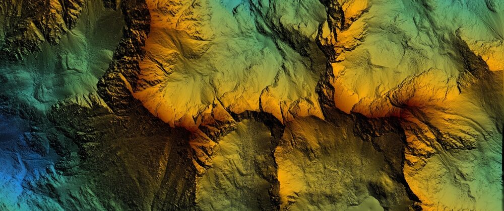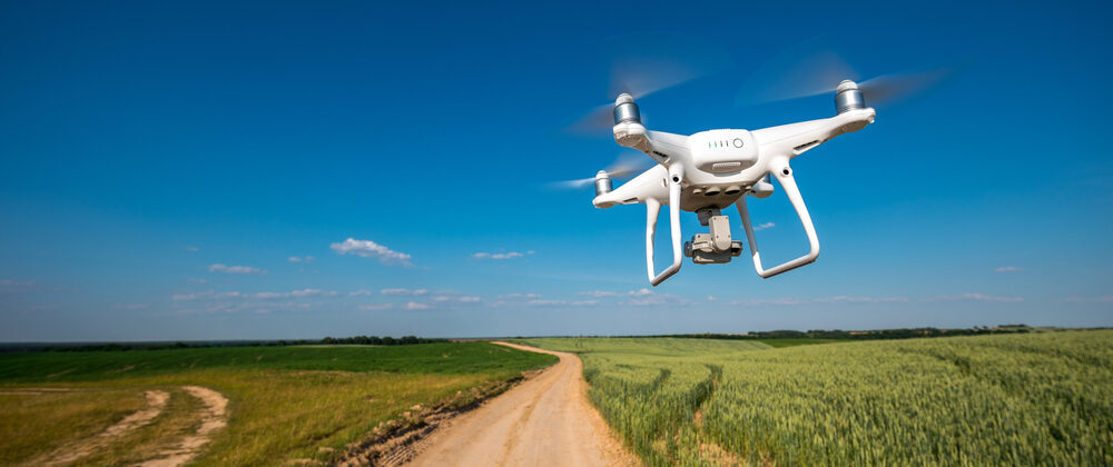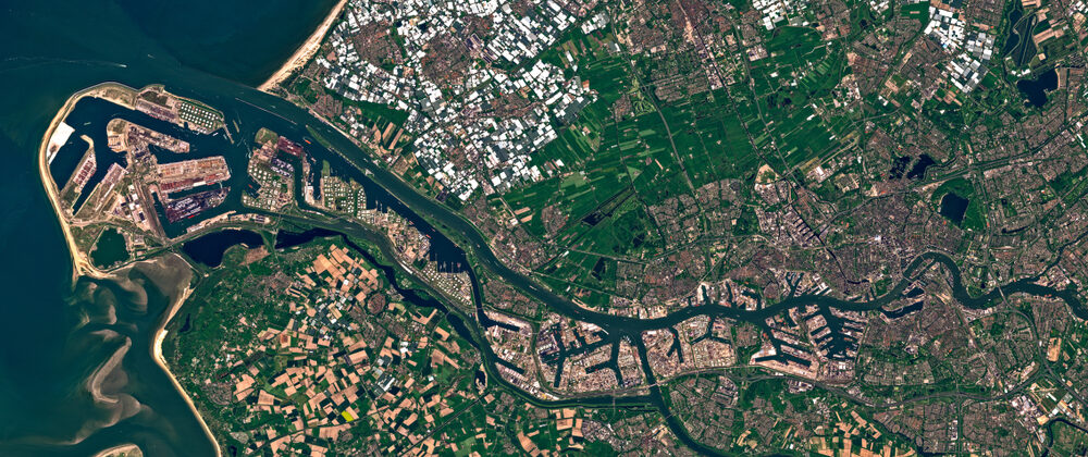
Drones Vs. Satellites for 3D Mapping: 5 Features to Compare for Photogrammetry
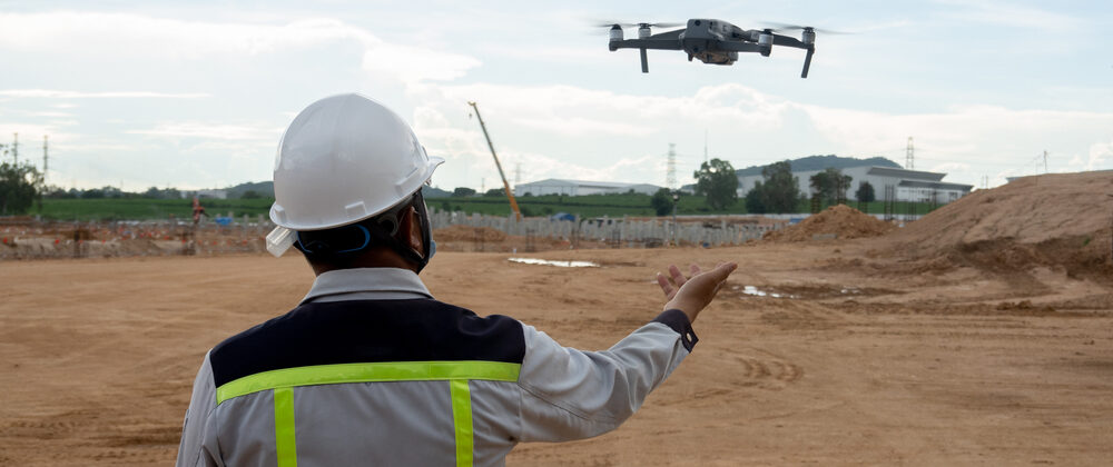
Drones and satellites are both methods for capturing imagery that can be used to create 3D maps using photogrammetry. While the Summit Evolution photogrammetric workstation can create projects from