Price Increase for Global Mapper
Starting with the release of version 8.0 (expected in Q2), you will see an additional fee in your support cost for Global Mapper access.
Users who work in Summit with Global
Starting with the release of version 8.0 (expected in Q2), you will see an additional fee in your support cost for Global Mapper access.
Users who work in Summit with Global
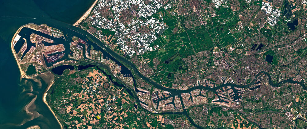
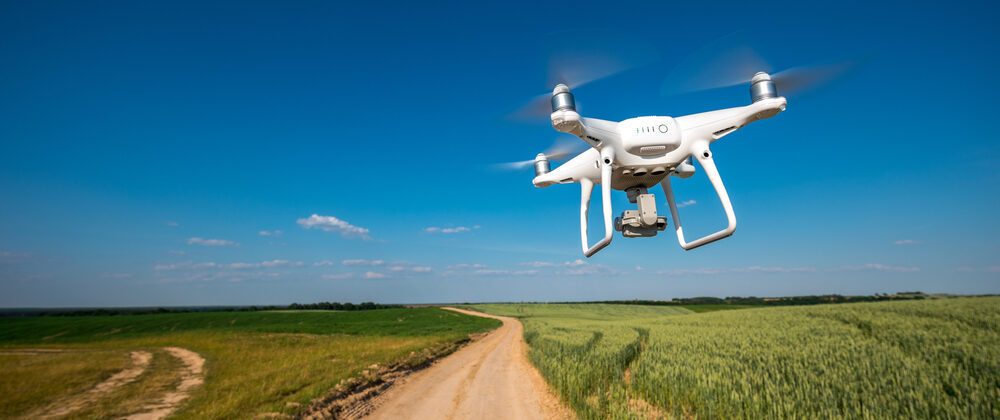
Drones and satellites are both methods for capturing imagery that can be used to create 3D maps using photogrammetry. While the Summit Evolution photogrammetric workstation can create projects from
We live in a 3D world. And while humans are only truly capable of seeing in 2D, everyone with two functional eyes has stereoscopic vision. This ability allows humans,
The Summit Evolution photogrammetric workstation from DAT/EM System International offers a suite of photogrammetric tools at an affordable cost.

For industries that work closely with the land, often altering it to accommodate human activity, sustainability can be a constant concern. Whether designing and building roadways, manufacturing timber, or
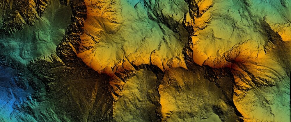
One of the first steps in land development is site reconnaissance. From choosing highway routes to designing an airfield, engineers need to thoroughly investigate the construction site and gather essential
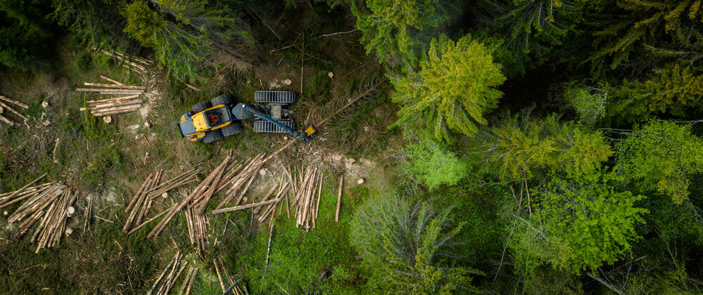
Timber is a major industry in both United States and Canada, and there are approximately 750 million acres of land covered by forests in the US alone. About two-thirds of
Photogrammetric software has revolutionized several industries like military intelligence, engineering, medicine, construction, and mining, to name just a few. Anyone interested in creating a 3D image from two or more

The DAT/EM Summit Evolution stereoplotter is designed to integrate your 3D mapping tasks seamlessly by visualizing stereo 3D imagery and digitizing 3D coordinate information directly into your project using the
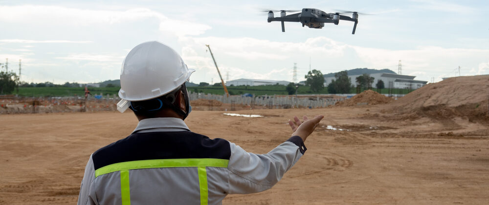
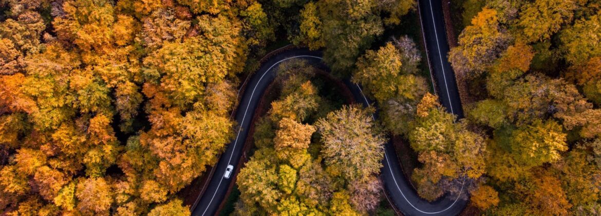
Whether on a national or state level, American Departments of Transportation are relying more on drone imagery to optimize their workflow and conduct more comprehensive research. In the past decade,
Many industries have relied on photogrammetry for decades to evaluate project sites, anticipate danger, enhance safety measures, create accurate 3D models, monitor forestry, and more. Unmanned aircraft systems (UAS), including